Connecticut
only $9.99
|
LITCHFIELD COUNTY, CONNECTICUT BOOKLET with COLORED MAP The early days of Litchfield County, CT, and its various communities -- Litchfield, South Farms, Northfield, Milton, Barkhamsted, Bethlem, Canaan, Colebrook, Cornwall, Goshen, Harwinton, Kent, New Hartford, New Milford, Norwalk, Plymouth, Roxbury, Salisbury, Sharon, Torrington, Wolcottsville, Warren, Washington, Watertown, Winchester, Clifton, Winsted, Woodbury, etc. -- are recalled through a mixture of colorfful tales and factual data in this NEW 45 Page Booklet reprinted from the 1836 edition of John Warner Barber's Connecticut Historical Collections. The spiral-bound booklet, sold exclusively on eBay, is printed one-sided on 60# paper, with the fine print enlarged for easier reading. A sheet of clear vinyl has been added to protect the front cover. INSERTED IN THE BOOKLET is a color copy of the 1836 Map of Connecticut which came with the Barber book. The map is printed on a parchment-like paper to simulate the original, and could easily be removed for framing. Among the many and varied topics in the booklet are:
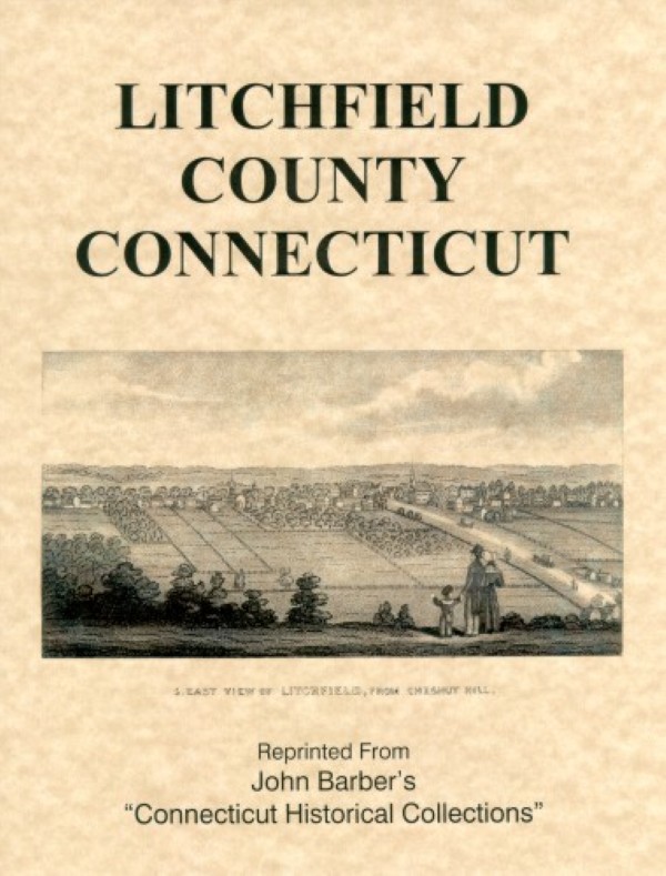
The booklet is illustrated with Barber's delightful hand-drawn sketches, such as the one on the cover below. These Illustrations include Litchfield, Hitchcocksville, Bethlem, the Housatonic Falls, Colebrook, South Cornwall, Goshen, the Episcopal Church in Kent, New Hartford, Norfolk, Plymouth, Roxbury, the churches in Salisbury Center, Gov. Smith's house, Wolcottville, Watertown, the Trumbull House, Clifton, Winsted, Bethel Rock and the grave of Fisher Hartshorn in Woodbury.
|

|
Connecticut only $9.99 |