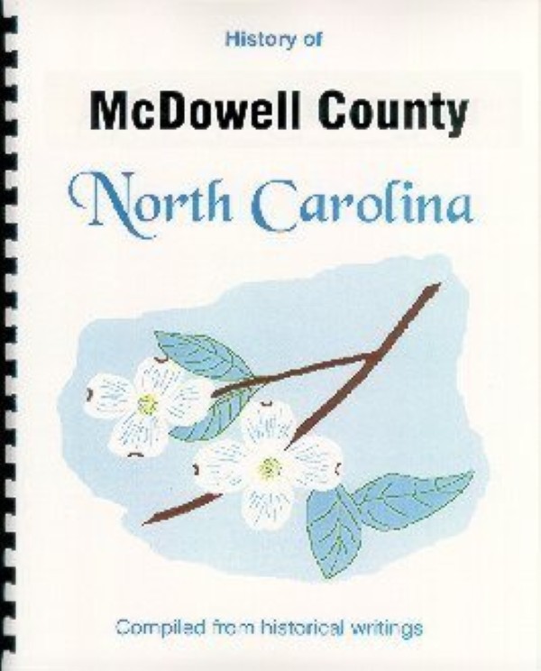
History
of
McDowell County, NC
New!
30 Page Illustrated
Booklet
|
Early days in McDowell
(MacDowell) County, North Carolina, are recalled in this new
30-page spiral-bound booklet, comprised of excerpts from several
vintage books. These source materials include John Hill Wheeler's
Historical Sketches of North Carolina (1851); North Carolina,
A Guide to the Old North State (1939), a product of the WPA;
and A New Geography of North Carolina (1954-65).
The
tri-color front cover is printed on 80# card stock and has been
protected with a vinyl sheet. The text is printed single-sided on
60# opaque paper, with the print enlarged to fit the 8.5" x
11" paper and improve readability.
Towns mentioned
in the booklet include: Marion
(the county seat), Glenwood, Little Switzerland, Nebo, Pleasant
Gardens, Linville Falls, Dysartsville, and Old Fort.
Among the many subjects
included are: Physical features,
including the Blue Ridge Parkway, Lake James and Lake Tahoma ;Brief
bios of Revolutionary War notables Col. Joseph MacDowell (McDowell)
and Francis Marion (the Swamp Fox); General Rutherford fighting
Indians near Old Fort and other Revolutionary War activities; two
wonders of the railroad world; the Clinchfield Railroad; Early families;
the Jonathan Carson home; early churches; Industries and Farming;
Wilderness and wildlife; Resorts; a Dream that strangled a murderer,
a wrestling match of some importance, a hillside apple orchard,
and numerous other interesting bits of history and trivia.
The WPA section
offers a nostalgic glimpse of the area from a 1939 vantage point,
offering many historical notes and sightseeing possibilities.
Our
North Carolina booklets are a good resource for learning about the
history, geography and social climate of places where you or your
ancestors have lived or for places you plan to visit.
Wouldn't this
make a unique gift?
|
|