ILLUSTRATED BOOKLET
The history of
Blair County, PA, is recalled through a mixture of colorful tales and factual
data in this NEW 14 Page Booklet, reprinted primarily from two hard-to-find books: An
Illustrated History of the Commonwealth of Pennsylvania by William Egle,
M.D., and Pennsylvania, a Guide to the Keystone State, a WPA project
published in 1940. The spiral-bound booklet is printed one-sided on 60#
paper, with the print enlarged for easier reading. A clear vinyl sheet has
been added to protect the front cover.
The communities
mentioned include: Hollidaysburg, Altoona, Claysburg, Duncansville, Frankstown,
Martinsburg, Newry, Tyrone, Williamsburg,; and townships: Allegheny, Antis,
Blair, Catharine, Frankstown, Snyder, Tyrone, Woodberry, Greenfield, Huston,
North Woodberry, Freedom, Juniata, Logan and Taylor.
The Egle history covers the early development of this area,
while excerpts from the WPA book, give a nostalgic glimpse from a 1940 vantage
point, including interesting historical notes, especially as they relate
to sightseeing possibilities.
Among the many and diverse subjects
in the booklet are: Early settlers, County formation in 1846, Pennsylvania
Railroad in Altoona; Indian Troubles; Politics; Land of Many Valleys (Juniata,
Sinking Spring, Logan’s, Scotch, Canoe, and Morrison’s Cove); 2 great curiosities:
Arch Spring and Cave; RR and Canal form first Unified Transportation System
in PA; Charles Dickens travels through area; a Penny Toss names a town;
Frontier Missionary Demetrius Augustine Gallitzin; model iron works; exile
of Chief John Logan; and other interesting bits of history and trivia.
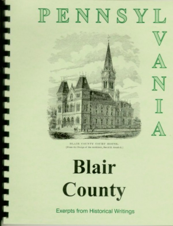
ILLUSTRATIONS
include Blair County Court House and Distant View of the Alleghenies (full
page).

